Viac o knihe
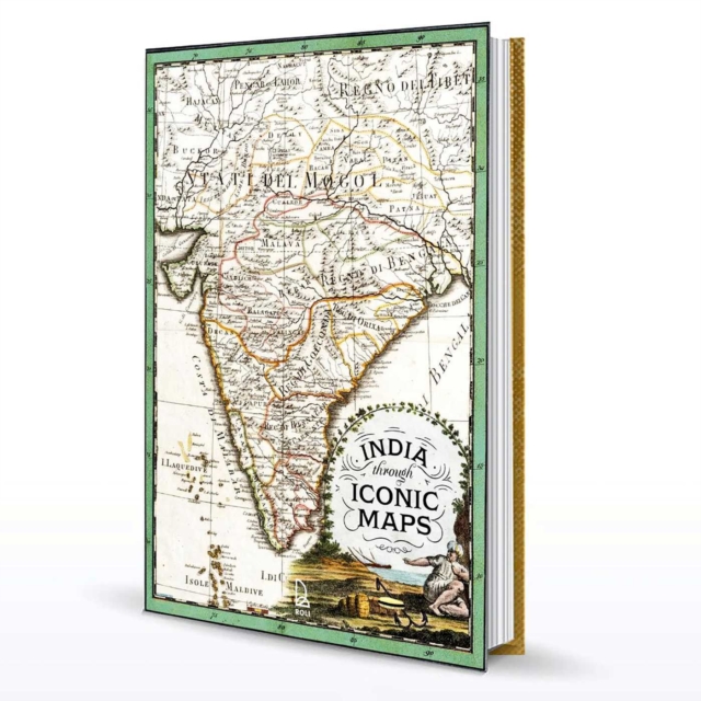
A large format collector's edition book, encased in a special clamshell box, India through Iconic Maps is the largest selection of maps on the country in one book.The astonishing breadth of maps range from early Hindu and Jain cosmography, which conceptually represent the ideologies from the 6th century BC, to exploratory maps by early European explorers to more sophisticated ones based on real time information when the race for discovery and assertion of power over trade was at its peak. Local maps by the Marathas and Rajputs prepared in advance of wars and to make strategic decisions find place amongst European depictions of India for the first time to tell the story of how the world saw India, but also how Indians viewed their own lands. Often ignored sub texts of the motives of why maps were made using subterfuge, espionage is addressed in accessible and fascinating text. Spanning over 700 years of mapmaking, this book offers stories of how maps were not only used for navigation but at times for propaganda, to confuse and to create an understanding of India. The authors draw from a rich background of research to offer exceptional maps, some published for the first time, to tell us the story of India’s past, of the early roots of globalization and how you must look at the past to understand the present.
Literatúra faktu
Vydavateľstvo
Roli Books Pvt Ltd